Hiking
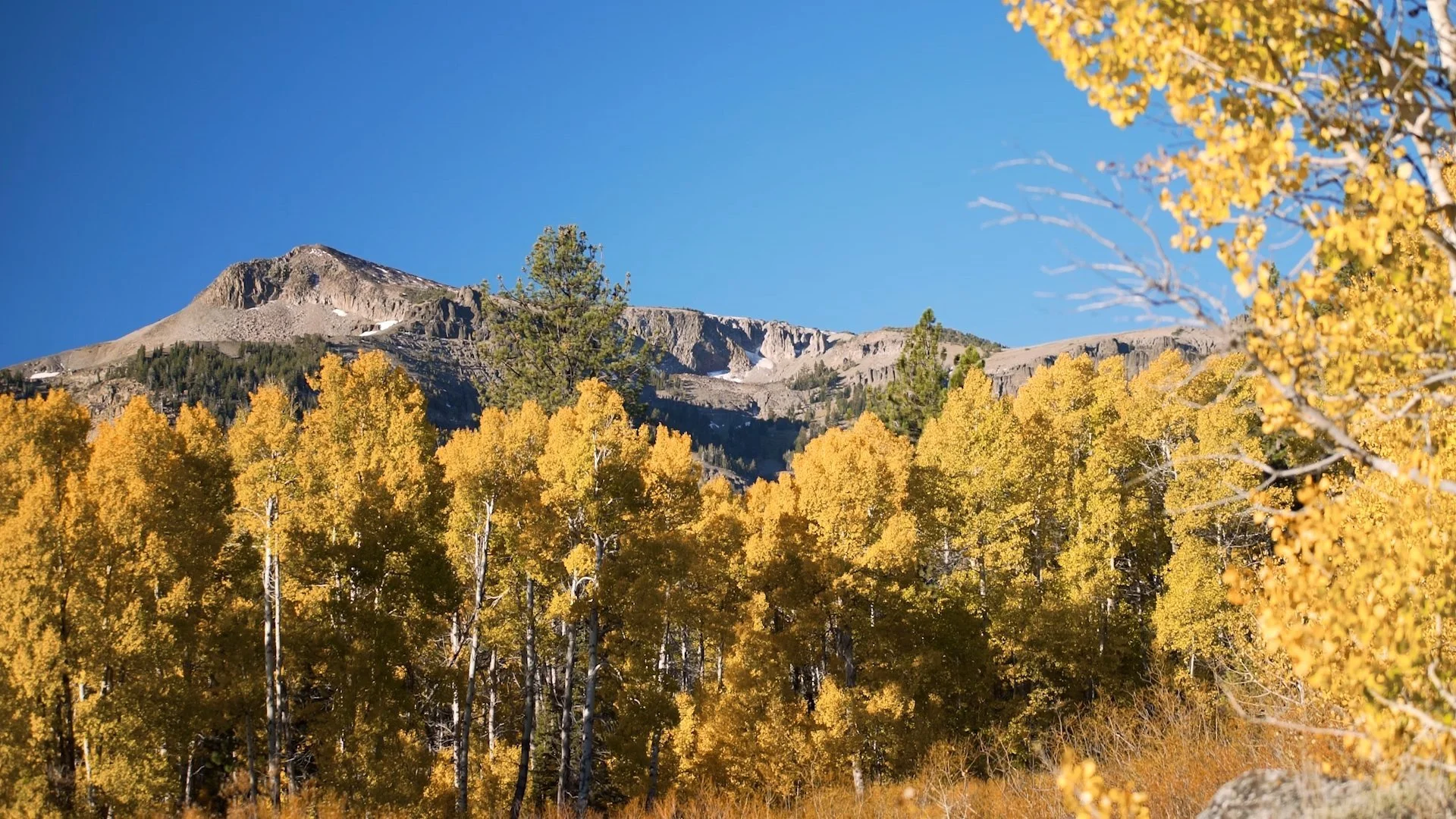
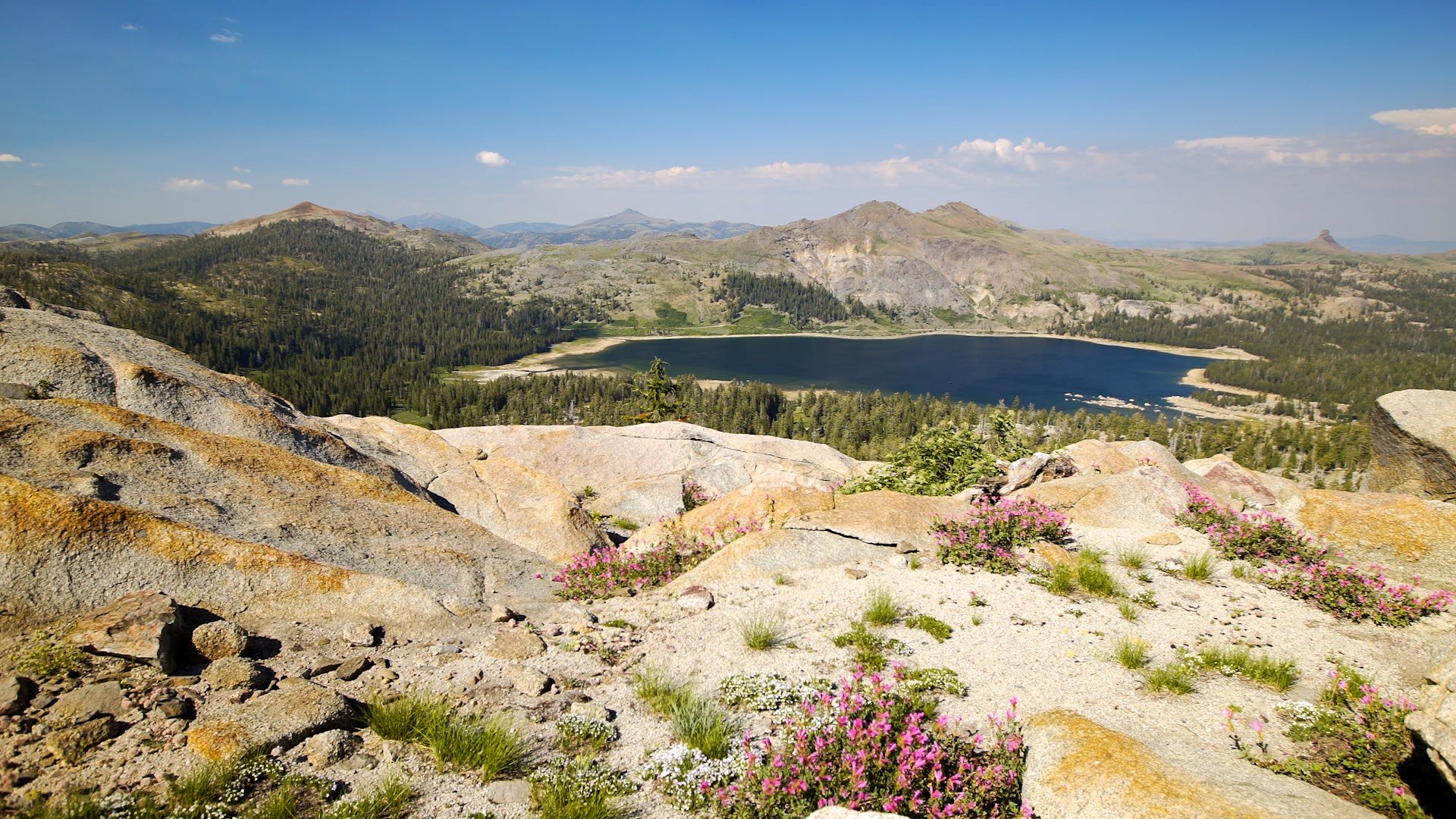
From the wide-open high desert of the Great Basin to the rugged peaks and snowy ridgelines of the Sierra crest, Alpine County is a hidden gem for anyone craving solitude and adventure. Think alpine lakes, wildflower meadows, and quiet river valleys—without the crowds.
Back in the 1800s, a passing emigrant dubbed this region the “Land of Fire & Ice.” Today, it’s home to hundreds of miles of hiking and backpacking trails winding through two designated Wilderness areas and three National Forests. Swing by the Alpine County Chamber of Commerce shop to pick up detailed topo and trail maps before heading out.
Here’s the best part: 96% of Alpine County is public land.
That means endless opportunities to explore the Carson-Iceberg and Mokelumne Wildernesses, plus portions of the El Dorado, Humboldt-Toiyabe, and Stanislaus National Forests.
For day hikes, check out Grover Hot Springs State Park or the Indian Creek Recreation Area. If you’re feeling ambitious, the Pacific Crest Trail and Tahoe-Yosemite Trail both cut right through the county. Trailheads around Bear Valley, Carson Pass, and Markleeville open up countless options for backcountry trips.
Check out some local routes on alltrails.com
Alpine County Trail Association is your go-to for the latest trail updates and ways to get involved in keeping these wild places thriving.
Popular
Trails
Bull Canyon Trail
Distance: 3.5 miles one-way
Difficulty: Moderate-Strenuous
Bull Canyon 8320' - Noble Lake 8640'
There's much to see and experience in Alpine County. For more information on our trails, contact the Visitor's Center at (530) 694-2475 or stop in to check out our extensive trail maps library:
#3 Webster Street, Markleeville, CA 96120
Wolf Creek Trail
Distance: 5 miles one-way to Bull Lake, 8 miles to PCT, 8.5 miles to Asa Lake
Difficulty: Easy to Bull Lake Junction, then moderate to strenuous after.
Corral Valley Trail
Distance: 12-mile loop
Corral Valley 7900' - Saddle Trail Junction 8720'
Charity Valley Trail
Distance: 8 miles one-way
Difficulty: Moderate
Grover Hot Springs 6240' - Blue Lakes Trailhead 8640'
Burnside Lake Hike
Distance: 6 miles one-way
Difficulty: Moderate-Strenuous
Highest Point on Trail 8160'
Granite Lake Trail
Distance: 1.5 miles one-way (though the trail goes further)
Difficulty: Easy-Moderate
Granite Lake Elevation 8700'